IduwiniVoice Earth
Scientists Highlight New Zealand’s Secret: The Mountain Peaks Country of a Drowned Continent, Zealandia
By Favour Bibaikefie
Geologists have renewed attention on Zealandia, a vast and mostly submerged landmass in the southwest Pacific, describing it as a distinct continent whose highest points form present-day New Zealand and New Caledonia.
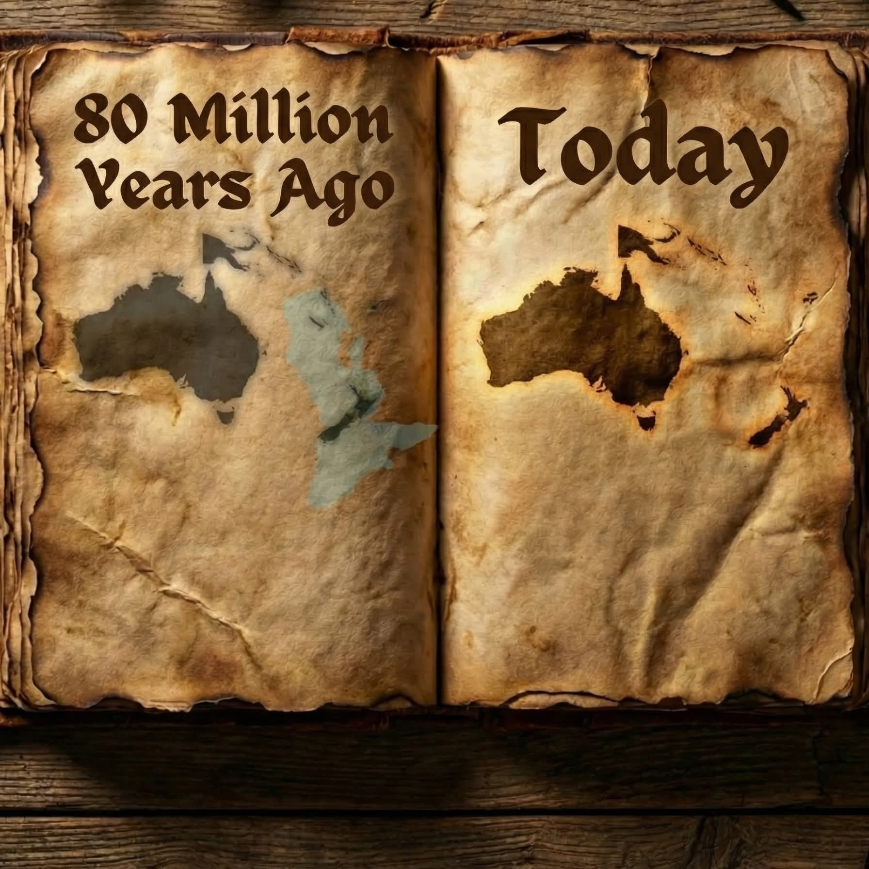
According to scientific findings referenced in The Lost Atlas, Zealandia separated from the ancient supercontinent Gondwana around 80 million years ago—a landmass that once included what are now Australia and Antarctica. At the time, Zealandia was a substantial above-water territory, estimated at nearly two million square miles, and is believed to have supported extensive rainforests and diverse prehistoric ecosystems.
Over millions of years, however, tectonic forces stretched and thinned the continental crust, causing most of the landmass to gradually subside beneath the ocean. Today, researchers estimate that about 94 per cent of Zealandia lies underwater.
What remains visible above sea level are only fragments of the original continent—primarily the mountainous regions that now make up New Zealand and parts of New Caledonia.
Scientists say the recognition of Zealandia as a continent underscores the dynamic nature of Earth’s crust and the ongoing processes that shape continents over geological time.
The concept of a largely hidden continent continues to generate interest within the scientific community, offering new insights into plate tectonics, continental formation and Earth’s ancient geography.
